

Partners
3D Scanning Technology
We use cutting-edge 3D scanning technology by NavVis, Nikon and FARO Technologies to collect point cloud data about all visible elements of a structure, collecting accurate measurements of every detail and complexity so that owners, architects and contractors know they are working with the most accurate data possible.

Faro Technologies Focus S70 & X330
FARO Technologies is the world’s most trusted source for 3D measurement, imaging and realization technology. The company’s leading edge solutions, such as Prologue’s Focus S70 and Focus 3D X330, enable high-precision 3D capture, measurement and analysis across large distances and with advanced functionalities.

Navvis M6 Indoor Mobile Mapping
Prologue’s NavVis M6 is an all-in-one mobile scanner that captures 360° immersive imagery and point clouds, enabling immediate virtual viewing of scanned environments complete with measurement data. The cart-based system includes four laser scanners, six 360° cameras and sensors for tracking Bluetooth beacons, WiFi signals and magnetic field data.

Nikon 2” Total Station
As the worldwide leader in high clarity optics, Nikon provides several go anywhere measurement tools for construction surveying. Prologue’s Nikon 2” Total Station is a lightweight and portable 3D laser scanner that precisely measures objects up to 500 meters away and allows for clear images in bright and low light conditions.
Reality Capture Software
We work with a variety of BIM modeling and reality capture software suites to import 3D point cloud data for various applications across the architecture, engineering and construction industries.

Autodesk
Autodesk makes software for people who make things. We take advantage of several packages Autodesk offers such as the Autodesk Building Design Suite/AEC Collection, as well as:
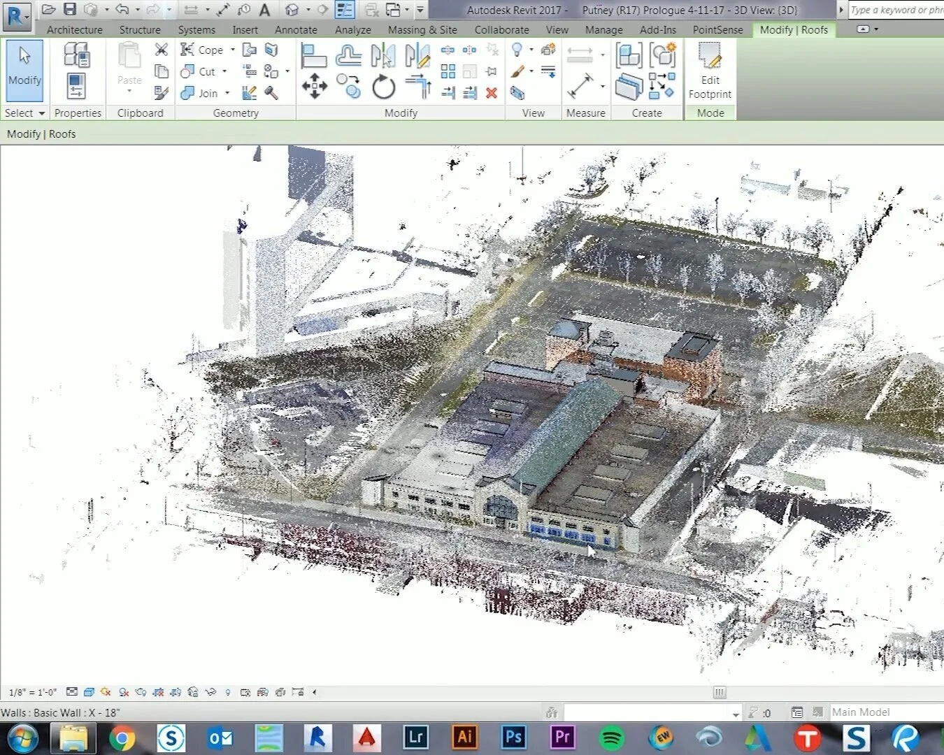
Revit
Recap
AutoCad
Civil3D
Navisworks
3DSmax
BIM360
Dynamo
NavVis Sitemaker
Ne meliore detracto tincidunt eam. Id ius adhuc ipsum facer. Id vix duis rationibus interpretaris, novum facilisi id nam.
adFLKSDF
SLDKNLSAKDNF;L
S’LDKFNL’AKSDNF
FARO® As-Built™
As-Built™ for AutoCAD® Software offers all the functionality that AEC professionals need to evaluate 3D laser scanner data directly in AutoCAD with the highest precision. This software extends AutoCAD tooling for point cloud modeling and analysis, photogrammetry processing, total station control and data evaluation captured from a variety of mobile mapping systems and hand-held laser scanners. A high level of automation efficiently creates 2D plans and 3D models for BIM purposes.
Industry-specific functions enable users to create deliverables customized to clients’ needs, company constraints and stakeholder specifications. Numerous export options and analytical tools ensure that the required CAD deliverables meet client expectations.

ClearEdge3D - Edgewise
For BIM Modeling as-built pipes, valves, flanges structural elements, ducts, walls, tees and conduits from point cloud data.

Cloud Compare
Open source 3D point cloud processing software product.

BlueBeam eXtreme
Software Provider that keeps teams on the same page through the design process, helps move the project forward during construction, and preserves important project data through completion and beyond.
Other Software Options
Buildit It- BuildIT develops and distributes custom and off-the-shelf 3D software solutions that interface with coordinate measurement machines (CMM) for Real-Time Part Inspection, Tool Building, Assembly, Alignment, Measurement Process Automation, Meshing and Quality Control
ReShaper- 3DReshaper is the easy-to-use and versatile software solution dedicated to processing any type of point clouds in a wide array of applications such as Cultural Heritage, Architecture, Geology, Mine, Quarry, Digital Terrain Modelling, Civil Engineering or Shipbuilding.